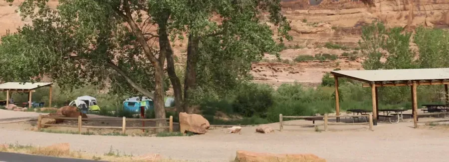
Goose Island group camping area · Bureau of Land Management. Photo credit and source in the map popup.
Red rock canyons, quiet forest roads and a place to settle in.
Choose a destination and find public campgrounds, tent sites, group camps and boondocking areas.
Goose Island group camping area · Bureau of Land Management. Photo credit and source in the map popup.
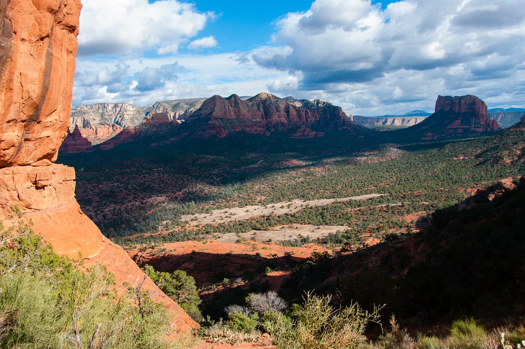
Cathedral Rock landscape · Deborah Lee Soltesz / USFS · CC0.
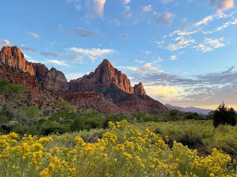
Zion National Park landscape · National Park Service.
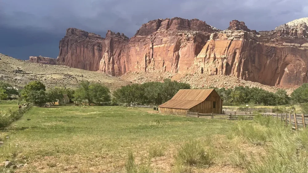
Fruita campground listing photo · NPS / Recreation.gov. Source in the map popup.
Each map brings together campground pins, photos, fees, facilities and trailer-access notes. Filter by land manager or camping style, then open a pin to compare the details and visit the original source.
Moab and Sedona start with a 40-mile radius; Sedona includes an optional farther BLM area. The Zion map covers the wider Kanab–St. George region. Escalante, Capitol Reef and Bryce share a regional Highway 12 map. Check your full rig length, seasonal access and current restrictions before heading out.